 UFZ Spatial Data Catalogue
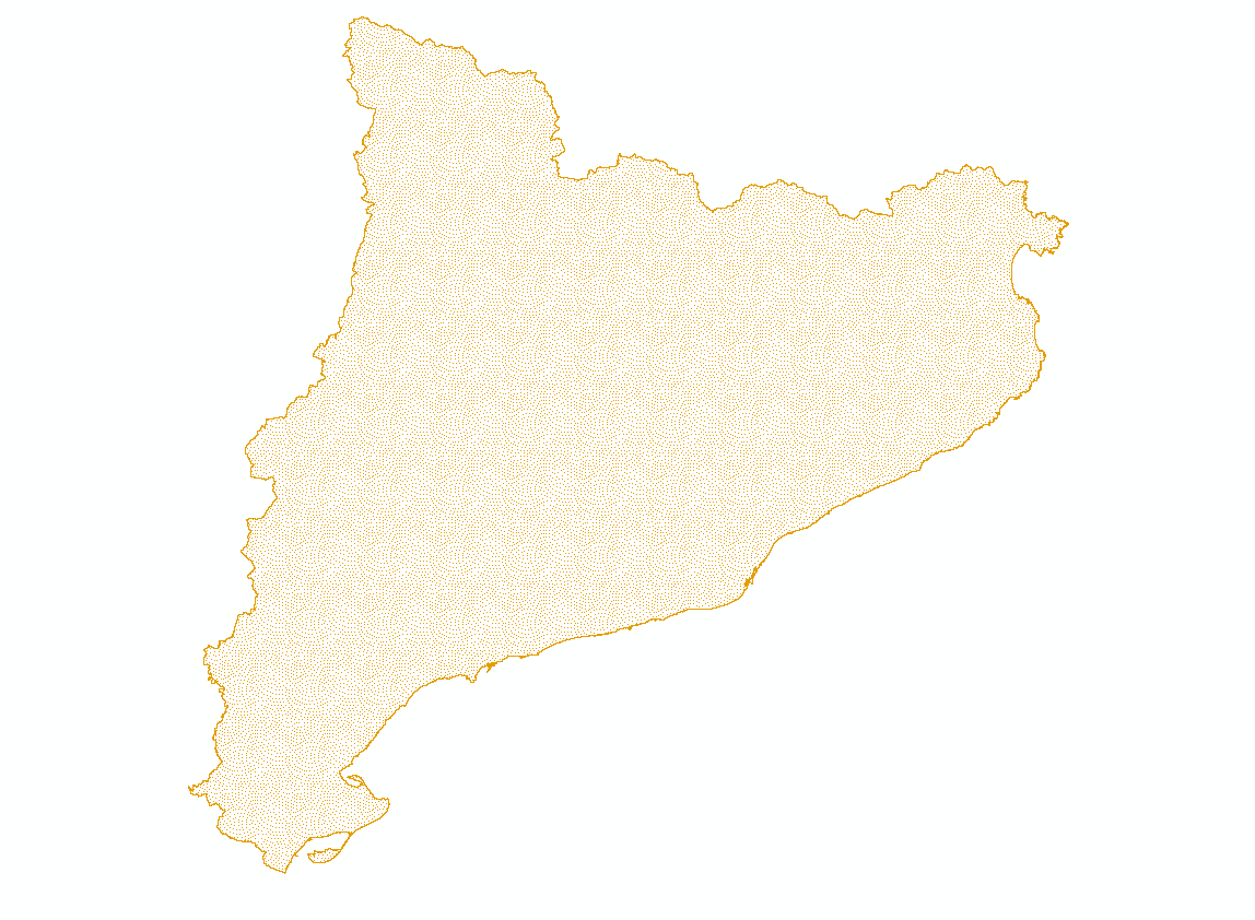
BESTMAP ES 2015-2019 Field Parcels
LPIS data of the Catalonian Case Study (ES). Contains information on land use and user of a field parcel
Simple
- Date (Creation)
- 2020-10-20
- Status
- Completed
- Point of contact
-
Organisation name Individual name Electronic mail address Role CREAF
Cristina Domingo
Point of contact
- Maintenance and update frequency
- As needed
- Theme
-
-
Case Study Base Layer
-
ES
-
Agriculture
-
- Place
-
- Access constraints
- Restricted
- Spatial representation type
- Vector
- Denominator
- -2
- Language
- Catalan; Valencian
- Character set
- UTF8
- Begin date
- 2015-01-01
- End date
- 2019-12-31
N
S
E
W
))
- Reference system identifier
- 3035
Digital transfer options
- OnLine resource
-
Protocol Linkage Name WWW:LINK-1.0-http--link
https://drive.google.com/drive/folders/1FOpf5tSBG1bVOObNCBtIUCyByM_Ylvjj?usp=sharing
- Hierarchy level
- Dataset
Metadata
- File identifier
- 1ed4fadb-f784-49cc-9b19-a753d37fe708 XML
- Metadata language
- English
- Character set
- UTF8
- Date stamp
- 2024-03-11T12:06:38
- Metadata standard name
-
ISO 19115:2003/19139
- Metadata standard version
-
1.0
- Metadata author
-
Organisation name Individual name Electronic mail address Role CREAF
Cristina Domingo
Point of contact
)))