 UFZ Spatial Data Catalogue
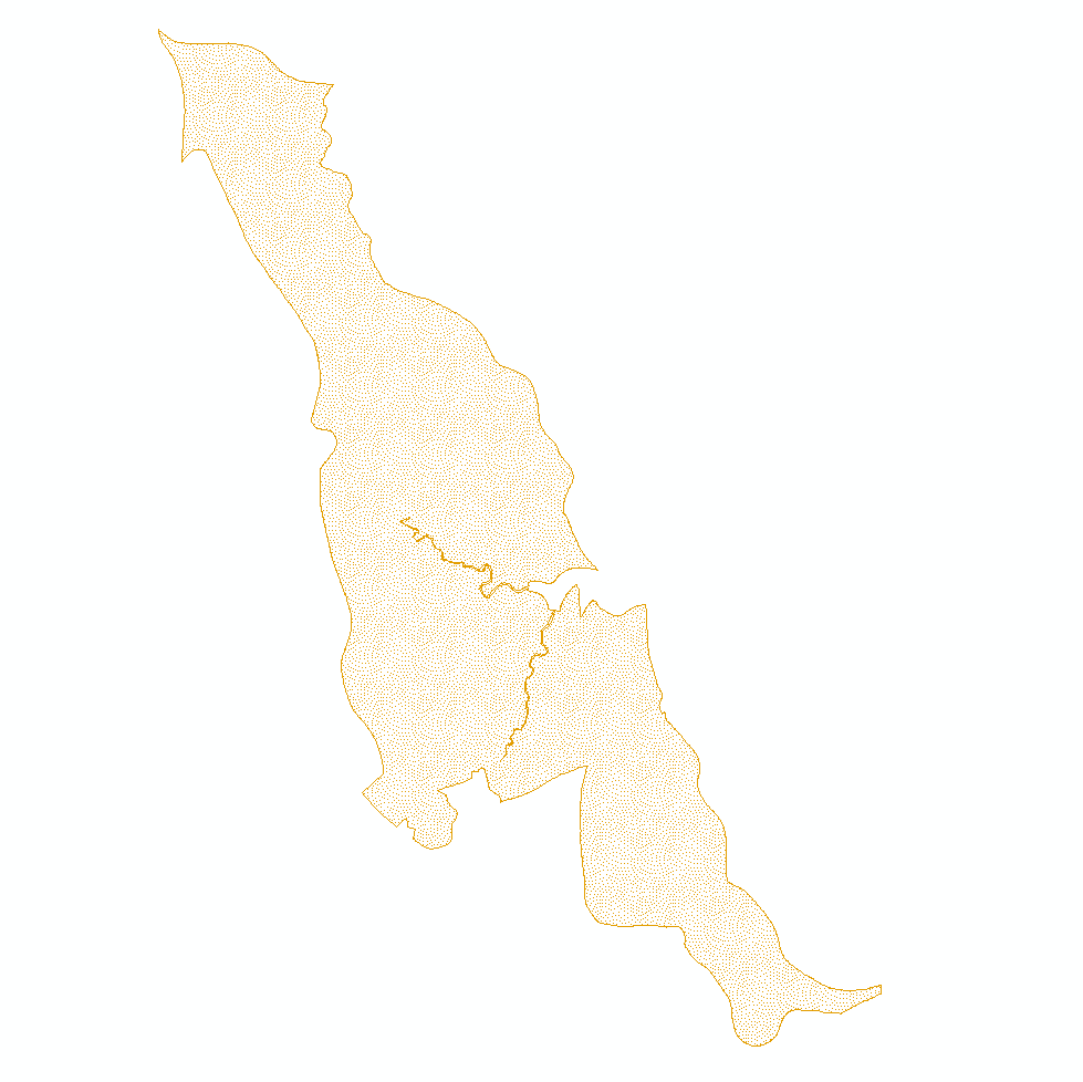
BESTMAP UK 2010-2020 Farmland birds
Farmland birds observations recorded between 2010 and 2020 in the Humber catchment (England, UK), which serves as the British case study area within BESTMAP. Original data source is the Global Biodiversity Information Facility (GBIF).
Simple
- Date (Publication)
- 2020-10-09
- Status
- Completed
- Point of contact
-
Organisation name Individual name Electronic mail address Role Technische Universität Dresden
Stephanie Roilo
Point of contact
- Maintenance and update frequency
- As needed
- Theme
-
-
Case Study Base Layer
-
UK
-
Biodiversity
-
- Place
-
- Access constraints
- Copyright
- Use constraints
- otherRestictions
- Spatial representation type
- Vector
- Denominator
- -2
- Language
- English
- Character set
- UTF8
- Begin date
- 2010-01-01
- End date
- 2020-08-20
N
S
E
W
))
- Reference system identifier
- 3035
Digital transfer options
- OnLine resource
-
Protocol Linkage Name WWW:DOWNLOAD-1.0-http--download
https://web.app.ufz.de/geonetwork/srv/api/records/43e9d1c9-572b-4114-92bd-65da3fb887a0/attachments/UK_farmland_birds_GBIF.zip
- Hierarchy level
- Dataset
Metadata
- File identifier
- 43e9d1c9-572b-4114-92bd-65da3fb887a0 XML
- Metadata language
- English
- Character set
- UTF8
- Date stamp
- 2024-03-11T12:05:52
- Metadata standard name
-
ISO 19115:2003/19139
- Metadata standard version
-
1.0
- Metadata author
-
Organisation name Individual name Electronic mail address Role Technische Universität Dresden
Stephanie Roilo
Point of contact
)))