 UFZ Spatial Data Catalogue
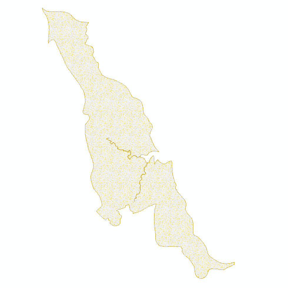
BESTMAP UK 2014-2015 Land use
LCM2015 was produced at the Centre for Ecology & Hydrology by classifying satellite images from 2014 and 2015 into 21 Broad Habitat-based classes. It is one of a series of land cover maps, produced by UKCEH since 1990. They include versions in 1990, 2000, 2007, 2015, 2017, 2018 and 2019.
Simple
- Date (Publication)
- 2017-04-11
- Status
- Completed
- Point of contact
-
Organisation name Individual name Electronic mail address Role University of Leeds
Guy Ziv
Originator
- Maintenance and update frequency
- As needed
- Theme
-
-
Case Study Base Layer
-
UK
-
Land Use
-
- Place
-
- Access constraints
- Restricted
- Spatial representation type
- Grid
- Denominator
- 25
- Language
- English
- Character set
- UTF8
N
S
E
W
))
- Reference system identifier
- 3035
Digital transfer options
- OnLine resource
-
Protocol Linkage Name WWW:LINK-1.0-http--link
https://catalogue.ceh.ac.uk/documents/bb15e200-9349-403c-bda9-b430093807c7
- Hierarchy level
- Dataset
Metadata
- File identifier
- 52a4a2e0-bf84-4534-beac-c0e4d235e2a9 XML
- Metadata language
- English
- Character set
- UTF8
- Date stamp
- 2024-03-11T12:05:37
- Metadata standard name
-
ISO 19115:2003/19139
- Metadata standard version
-
1.0
- Metadata author
-
Organisation name Individual name Electronic mail address Role University of Leeds
Guy Ziv
Point of contact
)))