 UFZ Spatial Data Catalogue
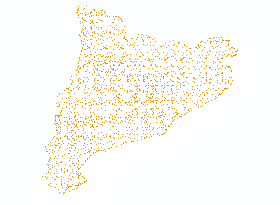
BESTMAP ES 2017 Land use
Land Use in Catalonia which serves as the Spanish case study area within BESTMAP
Simple
- Date (Creation)
- 2020-10-20
- Status
- Completed
- Point of contact
-
Organisation name Individual name Electronic mail address Role CREAF
Cristina Domingo
Originator
- Maintenance and update frequency
- As needed
- Theme
-
-
Case Study Base Layer
-
ES
-
Land Use
-
- Place
-
- Access constraints
- Copyright
- Spatial representation type
- Grid
- Denominator
- 30
- Language
- English
- Character set
- UTF8
- Begin date
- 2017-01-01
- End date
- 2017-12-31
N
S
E
W
))
- Reference system identifier
- 3035
Digital transfer options
- OnLine resource
-
Protocol Linkage Name WWW:DOWNLOAD-1.0-http--download
https://web.app.ufz.de/geonetwork/srv/api/records/60a06bf5-8ab8-492f-acd3-637120dcc9db/attachments/ES_2017_Land_use.zip ES_2017_Land_use.zip
- Hierarchy level
- Dataset
Metadata
- File identifier
- 60a06bf5-8ab8-492f-acd3-637120dcc9db XML
- Metadata language
- English
- Character set
- UTF8
- Date stamp
- 2024-03-11T12:06:07
- Metadata standard name
-
ISO 19115:2003/19139
- Metadata standard version
-
1.0
- Metadata author
-
Organisation name Individual name Electronic mail address Role CREAF
Cristina Domingo
Point of contact
)))