UFZ Spatial Data Catalogue
Uncertainty of Monetary Valuation (WMS)
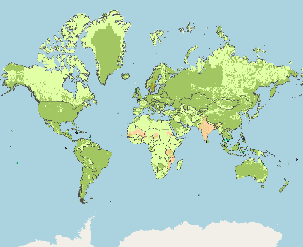
The points show locations of case studies used to calculate the monetary values of individual ES. The bivariate maps show extrapolated relative monetary values (yellow to green) and uncertainties (yellow to red) of the benefit transfer functions for the ES. : A ) food provision, B) water provision, C) climate regulation, D) extreme event regulation, E) recreation service and F) habitat service, G) raw material provision, H) provision of medicinal resources, I) waste treatment, J) erosion regulation, K) soil fertility regulation and L) maintenance of genetic diversity. Monetary values and uncertainties are grouped into different classes from low to high (in the legend the first number represents uncertainty and the second monetary values, e.g. 11= both low, 12= uncertainty low and monetary value medium, 32= uncertainty high and monetary value medium etc.). The classes were defined by equal interval distances for each ES separately.
Major sources of uncertainties include errors resulting from the input data for the benefit transfer model, the model characteristics and the transfer error due to generalization. The latter, for instance, arises when values are transferred to other areas under the assumption that particular socio-environmental conditions, spatial or temporal scale are constant. For the ES food provisioning it is often assumed that agricultural productivity is the same for all croplands, regardless natural composition and anthropogenic management. These results show that although socio-economic indicators are often discussed for benefit transfer applications, the consideration of biophysical heterogeneity in ecosystems is most important.
Simple
- Date (Creation)
- 2020-02-05
- Status
- Completed
- Point of contact
-
Organisation name Individual name Electronic mail address Role Helmholtz Centre for Environmental Research - UFZ
The administrator of the service
Point of contact
- Theme
-
-
WMS
-
- Service Type
- OGC:WMS
- Service Version
-
1.3.0
))
- Coupling Type
- Tight
Digital transfer options
- OnLine resource
-
Protocol Linkage Name OGC:WMS-http-get-map
https://www.ufz.de/arcgis/services/CLE/Extern_Uncertainties_Monetary_Values/MapServer/WMSServer?request=GetCapabilities&service=WMS
- Hierarchy level
- Service
Metadata
- File identifier
- 682b96a4-1522-448f-a688-81ddc6d1d2ad XML
- Metadata language
- English
- Character set
- UTF8
- Hierarchy level
- Service
- Date stamp
- 2025-12-18T11:15:33.037019Z
- Metadata standard name
-
ISO 19115:2003/19139
- Metadata standard version
-
1.0
- Metadata author
-
Organisation name Individual name Electronic mail address Role The administrator of the service
Point of contact