 UFZ Spatial Data Catalogue
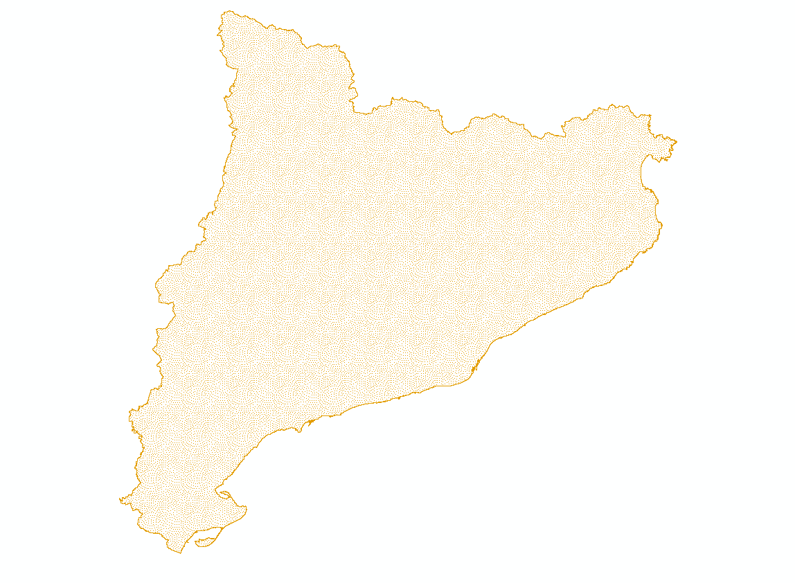
BESTMAP ES 2009-2019 Elevation
Elevation levels in Catalonia which serves as the Spanish case study area within BESTMAP
Simple
- Date (Creation)
- 2020-10-20
- Status
- Completed
- Point of contact
-
Organisation name Individual name Electronic mail address Role CREAF
Cristina Domingo
Originator
- Maintenance and update frequency
- As needed
- Theme
-
-
Case Study Base Layer
-
ES
-
Terrain
-
- Place
-
- Access constraints
- Copyright
- Spatial representation type
- Grid
- Denominator
- 50
- Language
- Catalan; Valencian
- Character set
- UTF8
- Begin date
- 2009-01-01
- End date
- 2019-12-31
N
S
E
W
))
Digital transfer options
- OnLine resource
-
Protocol Linkage Name WWW:LINK-1.0-http--link
ftp://ftp.creaf.uab.es/creaf-ecologia/cd/Catalunya_MDE_ASTER_30m.zip
- Hierarchy level
- Dataset
Metadata
- File identifier
- 6ca0189d-6c71-48f9-81e2-7eeae96456f0 XML
- Metadata language
- English
- Character set
- UTF8
- Date stamp
- 2024-03-11T12:06:48
- Metadata standard name
-
ISO 19115:2003/19139
- Metadata standard version
-
1.0
- Metadata author
-
Organisation name Individual name Electronic mail address Role CREAF
Cristina Domingo
Point of contact
)))