 UFZ Spatial Data Catalogue
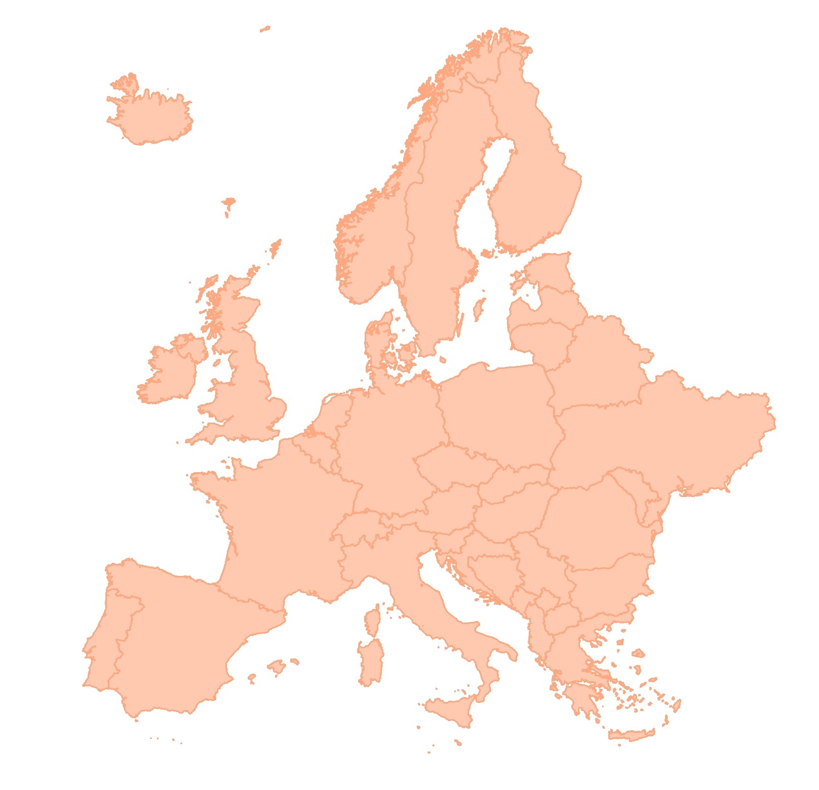
BESTMAP EU 2017 Land cover
Land cover map of Europe for European Base Layer within BESTMAP (S2GLC; Malinowski et al. 2020).
Simple
- Date (Publication)
- 2020-10-27
- Status
- Completed
- Point of contact
-
Organisation name Individual name Electronic mail address Role Helmholtz-Zentrum für Umweltforschung - UFZ
Anne Paulus
Originator
- Maintenance and update frequency
- As needed
- Theme
-
-
European Base Layer
-
EU
-
Land Use/Land Cover
-
- Place
-
- Access constraints
- Copyright
- Spatial representation type
- Grid
- Denominator
- 10
- Language
- English
- Character set
- UTF8
N
S
E
W
))
- Reference system identifier
- 3035
Digital transfer options
- OnLine resource
-
Protocol Linkage Name WWW:LINK-1.0-http--link
http://s2glc.cbk.waw.pl/extension EU_2017_Land_cover
- Hierarchy level
- Dataset
Metadata
- File identifier
- 7772c683-c7f3-4532-b305-2ff03158301e XML
- Metadata language
- English
- Character set
- UTF8
- Date stamp
- 2024-03-11T12:06:51
- Metadata standard name
-
ISO 19115:2003/19139
- Metadata standard version
-
1.0
- Metadata author
-
Organisation name Individual name Electronic mail address Role Helmholtz-Zentrum für Umweltforschung - UFZ
Anne Paulus
Point of contact
)))