 UFZ Spatial Data Catalogue
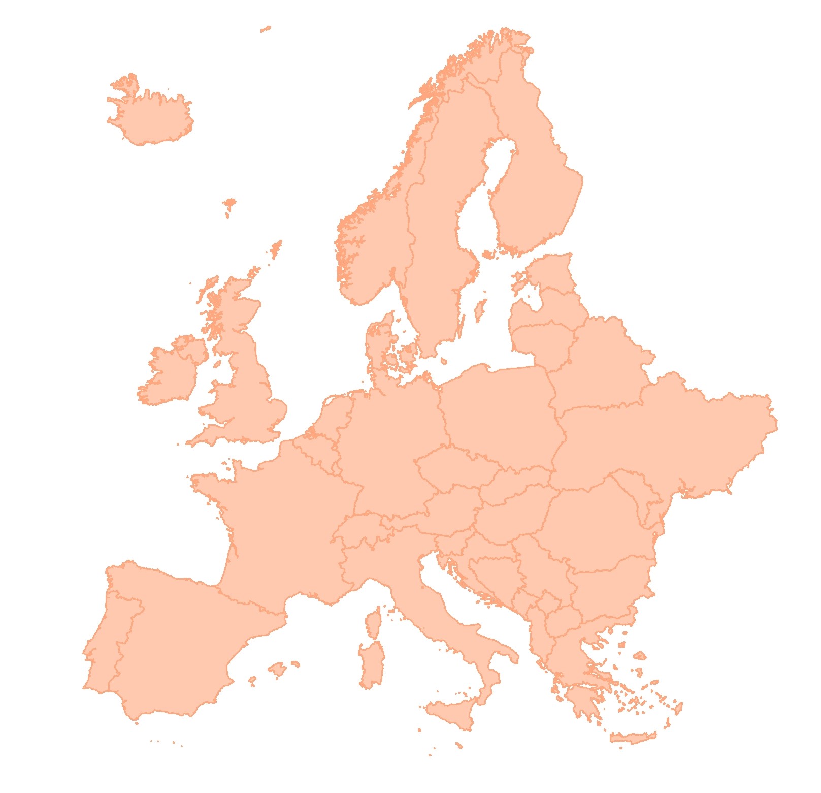
BESTMAP EU 2011 Digital terrain model
European Digital Elevation Model for European Base Layer within BESTMAP (EU_DEM v1.1; Copernicus Land Monitoring Service 2016).
Simple
- Date (Publication)
- 2016-04-20
- Status
- Completed
- Point of contact
-
Organisation name Individual name Electronic mail address Role Helmholtz-Zentrum für Umweltforschung - UFZ
Anne Paulus
Point of contact
- Maintenance and update frequency
- As needed
- Theme
-
-
European Base Layer
-
EU
-
Terrain
-
- Place
-
- Access constraints
- Copyright
- Spatial representation type
- Grid
- Denominator
- 25
- Language
- English
- Character set
- UTF8
- Begin date
- 2011-01-01
- End date
- 2011-12-31
N
S
E
W
))
- Reference system identifier
- 3035
Digital transfer options
- OnLine resource
-
Protocol Linkage Name WWW:LINK-1.0-http--link
https://land.copernicus.eu/imagery-in-situ/eu-dem/eu-dem-v1.1?tab=mapview EU_2011_Digital_Elevation_Model
- Hierarchy level
- Dataset
Metadata
- File identifier
- 7de8ef66-36db-40ca-8109-e70b08b8f821 XML
- Metadata language
- English
- Character set
- UTF8
- Date stamp
- 2024-03-11T12:04:57
- Metadata standard name
-
ISO 19115:2003/19139
- Metadata standard version
-
1.0
- Metadata author
-
Organisation name Individual name Electronic mail address Role Helmholtz-Zentrum für Umweltforschung - UFZ
Anne Paulus
Point of contact
)))