 UFZ Spatial Data Catalogue
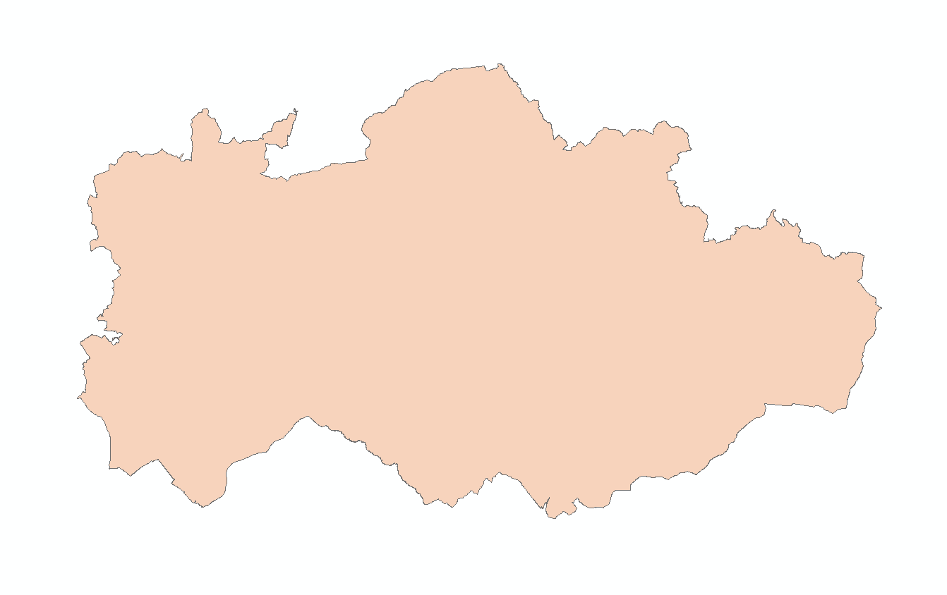
BESTMAP CZ 2020 Elevation
Elevation of the South Moravia region, which serves as the Czech case study area within BESTMAP
Simple
- Date (Publication)
- 2019-12-18
- Status
- Completed
- Point of contact
-
Organisation name Individual name Electronic mail address Role Palacký University Olomouc
Marek Bednář
Originator
- Maintenance and update frequency
- As needed
- Theme
-
-
Case Study Base Layer
-
CZ
-
Terrain
-
- Place
-
- Access constraints
- Copyright
- Spatial representation type
- Vector
- Denominator
- -2
- Language
- English
- Character set
- UTF8
- Begin date
- 01.01.2019
- End date
- 31.12.2019
N
S
E
W
))
- Reference system identifier
- 31468
Digital transfer options
- OnLine resource
-
Protocol Linkage Name null
https://drive.google.com/file/d/1952ypYZljjGQDpyFtRAi6XqY_StIdiLC/view?usp=sharing CZ_2020_Elevation
- Hierarchy level
- Dataset
Metadata
- File identifier
- 9eb879a8-07d7-4371-b247-302a681828ff XML
- Metadata language
- English
- Character set
- UTF8
- Date stamp
- 2024-03-11T12:05:13
- Metadata standard name
-
ISO 19115:2003/19139
- Metadata standard version
-
1.0
- Metadata author
-
Organisation name Individual name Electronic mail address Role Palacký University Olomouc
Marek Bednář
Point of contact
)))