 UFZ Spatial Data Catalogue
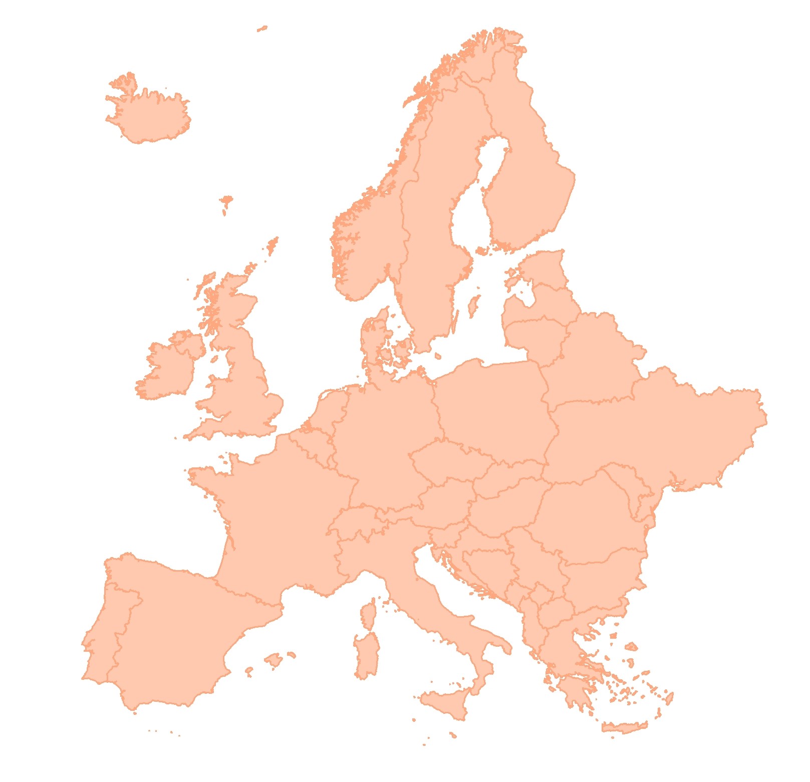
BESTMAP EU 2012 Root restricting layer depth
Root restricting layer depth for European Base Layer within BESTMAP (InVEST).
Simple
- Date (Publication)
- 2019-12-18
- Status
- Completed
- Point of contact
-
Organisation name Individual name Electronic mail address Role Helmholtz-Zentrum für Umweltforschung - UFZ
Anne Paulus
Originator
- Maintenance and update frequency
- As needed
- Theme
-
-
Case Study Base Layer
-
EU
-
Soil
-
European Base Layer
-
- Place
-
- Access constraints
- Copyright
- Spatial representation type
- Grid
- Denominator
- 1000
- Language
- English
- Character set
- UTF8
N
S
E
W
))
- Reference system identifier
- 3035
Digital transfer options
- OnLine resource
-
Protocol Linkage Name WWW:LINK-1.0-http--link
https://esdac.jrc.ec.europa.eu/content/european-soil-database-derived-data EU_2012_Root_restricting_layer_depth
- Hierarchy level
- Dataset
Metadata
- File identifier
- d5833d22-efa4-437d-8bb9-eda795a24c37 XML
- Metadata language
- English
- Character set
- UTF8
- Date stamp
- 2024-03-11T12:06:52
- Metadata standard name
-
ISO 19115:2003/19139
- Metadata standard version
-
1.0
- Metadata author
-
Organisation name Individual name Electronic mail address Role Helmholtz-Zentrum für Umweltforschung - UFZ
Anne Paulus
Point of contact
)))