 UFZ Spatial Data Catalogue
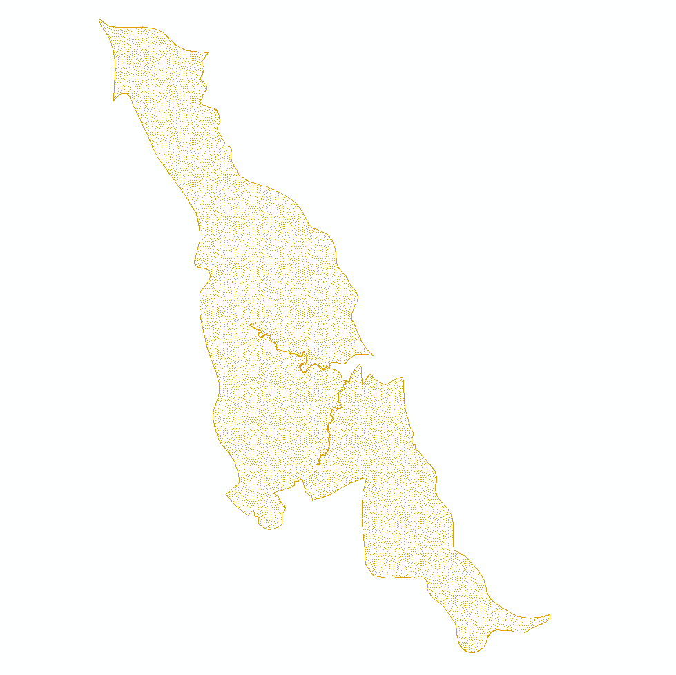
BESTMAP UK 2016 Land management
Geographic extent and location of all land under management within the Countryside Stewardship Agri-Environment Scheme.
Simple
- Date (Publication)
- 2019-12-18
- Status
- Completed
- Point of contact
-
Organisation name Individual name Electronic mail address Role University of Leeds
Guy Ziv
Point of contact
- Maintenance and update frequency
- As needed
- Theme
-
-
Case Study Base Layer
-
UK
-
Land Use/Land Cover
-
-
GEMET - INSPIRE themes, version 1.0
-
-
Agriculture
-
- Place
-
- Access constraints
- Restricted
- Use constraints
- otherRestictions
- Spatial representation type
- Vector
- Denominator
- -2
- Language
- English
- Character set
- UTF8
- Begin date
- 2016-01-01
- End date
- 2016-12-31
N
S
E
W
))
- Reference system identifier
- 3035
Digital transfer options
- OnLine resource
-
Protocol Linkage Name WWW:LINK-1.0-http--link
https://data.gov.uk/dataset/a8461f4b-632a-42b5-9f75-05ebad5c758c/countryside-stewardship-scheme-2016-management-options-england
- Hierarchy level
- Dataset
Metadata
- File identifier
- fe6a2921-ab88-4f94-a6b6-06cd7369b4ac XML
- Metadata language
- English
- Character set
- UTF8
- Date stamp
- 2024-11-06T14:02:24.35158Z
- Metadata standard name
-
ISO 19115:2003/19139
- Metadata standard version
-
1.0
- Metadata author
-
Organisation name Individual name Electronic mail address Role University of Leeds
Guy Ziv
Point of contact
)))