 UFZ Spatial Data Catalogue
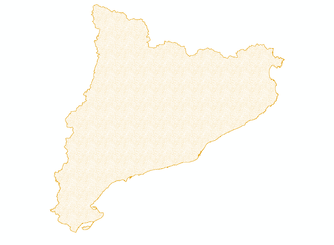
BESTMAP ES 2009 Farms
Farms of Catalonia wich serves as the Spanish case study area within BESTMAP: Counties, areas and provinces (2009), By size of the total surface (2005-2016), With UUA by size (2009)
Simple
- Date (Creation)
- 2020-10-20
- Status
- Completed
- Point of contact
-
Organisation name Individual name Electronic mail address Role Cristina Domingo
Originator
- Maintenance and update frequency
- As needed
- Theme
-
-
Case Study Base Layer
-
ES
-
Agriculture
-
- Place
-
- Access constraints
- Copyright
- Spatial representation type
- Text, table
- Denominator
- -2
- Language
- English
- Character set
- UTF8
- Begin date
- 01.01.2009
- End date
- 31.12.2009
N
S
E
W
))
Digital transfer options
- OnLine resource
-
Protocol Linkage Name WWW:DOWNLOAD-1.0-http--download
https://web.app.ufz.de/geonetwork/srv/api/records/fffd39b7-ea21-4b56-97b5-e7d711d341db/attachments/ES_2009_farms_upload.zip ES_2009_farms_upload.zip
- Hierarchy level
- Dataset
Metadata
- File identifier
- fffd39b7-ea21-4b56-97b5-e7d711d341db XML
- Metadata language
- English
- Character set
- UTF8
- Date stamp
- 2024-03-11T12:06:01
- Metadata standard name
-
ISO 19115:2003/19139
- Metadata standard version
-
1.0
- Metadata author
-
Organisation name Individual name Electronic mail address Role Cristina Domingo
Point of contact
)))